
Screw Auger Falls
Grafton Twp, Maine
A waterfall in Grafton Twp, Maine, managed by Grafton Notch State Park, Maine Bureau of Parks and Lands. A walking path from Route 26 leads to the falls.
Short walkNo licensed photo found yet.
About Screw Auger Falls
Overview
- Waterfall height23 feet (Maine Bureau of Parks and Lands).
- Hike detailsA walking path from Route 26 leads to the falls (Maine BPL). Maine Trail Finder lists the Screw Auger Falls paths as a 0.4-mile network, with a well-defined 0.1-mile path with guard rails to view the falls.
- ParkingRoadside parking lot on ME Route 26, about 9 miles north of the US 2/ME 26 junction in Newry (Maine Trail Finder). Park lists the Screw Auger Falls parking lot at 44.572106, -70.902701 (Maine BPL).
- PetsPets permitted (Maine Trail Finder).
- SeasonOpen 9:00 a.m. to sunset daily, May 15 to October 15 (Maine BPL).
Managed by: Grafton Notch State Park, Maine Bureau of Parks and Lands
The Hike
- Route
- A walking path from Route 26 leads to the falls (Maine BPL). Maine Trail Finder lists the Screw Auger Falls paths as a 0.4-mile network, with a well-defined 0.1-mile path with guard rails to view the falls.
- Difficulty
- Easy (Maine Trail Finder). Many ledges and large drop-offs; use caution in wet weather and with small children (Maine Trail Finder).
Facilities
- Parking
- Roadside parking lot on ME Route 26, about 9 miles north of the US 2/ME 26 junction in Newry (Maine Trail Finder). Park lists the Screw Auger Falls parking lot at 44.572106, -70.902701 (Maine BPL).
- Fees
- Fee charged; cash or check only, no credit cards (Maine BPL).
Tips & Safety
- Swimming
- Not verified No managing-agency statement found, so we don't say swimming is allowed.
- Pets
- Pets permitted (Maine Trail Finder).
- Season
- Open 9:00 a.m. to sunset daily, May 15 to October 15 (Maine BPL).
Safety
- Wet rock near waterfalls is very slippery, even when it looks dry. Stay back from edges and off the tops of falls.
- High water after rain or snowmelt makes crossings and pools dangerous. Turn back if a crossing looks deep or fast.
- Daylight is not a safety guarantee. Plan your time around the route, the weather and your group, and carry a light.
- Check the managing agency for closures and current conditions.
Not verified
No managing agency publishes: Swimming, Formal difficulty rating, Accessibility. We leave these out instead of guessing.
Nearby Waterfalls
More in Maine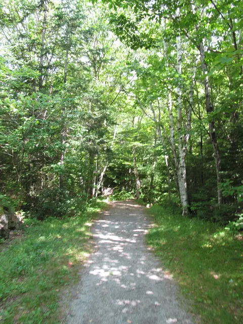 Mother Walker FallsGrafton Twp, ME · 0.9 mi awayShort walkDunn FallsAndover North Surplus, ME · 6.2 mi awayHikeAngel FallsTownship D, ME · 17.6 mi awayHike
Distances are straight-line, not driving or trail distances.