
Angel Falls
Township D, Maine
A waterfall in Township D, Maine, managed by Trails for Rangeley Area Coalition. 1.1 miles round trip with 200 feet of elevation gain, following red blazes along Berdeen Stream and Mountain Brook.
HikeNo licensed photo found yet.
About Angel Falls
Overview
- Waterfall heightNot verified No source publishes a height.
- Hike details1.1 miles round trip with 200 feet of elevation gain, following red blazes along Berdeen Stream and Mountain Brook (Maine Trail Finder).
- ParkingParking in an old gravel pit off Bemis Road, a gravel logging road that can be rough; logging roads may need four-wheel drive (Maine Trail Finder).
- PetsPets permitted (Maine Trail Finder).
- SeasonNot verified. A 2024 visitor comment on Maine Trail Finder reports the access road was closed; no official status found.
Managed by: Trails for Rangeley Area Coalition (T.R.A.C.) volunteers
The Hike
- Route
- 1.1 miles round trip with 200 feet of elevation gain, following red blazes along Berdeen Stream and Mountain Brook (Maine Trail Finder).
- Difficulty
- Easy to moderate; three rock-hop crossings of Mountain Brook that can be slippery, dangerous or impassable in high water (Maine Trail Finder).
Facilities
- Parking
- Parking in an old gravel pit off Bemis Road, a gravel logging road that can be rough; logging roads may need four-wheel drive (Maine Trail Finder).
- Fees
- No fee (Maine Trail Finder).
Tips & Safety
- Swimming
- Not verified No managing-agency statement found, so we don't say swimming is allowed.
- Pets
- Pets permitted (Maine Trail Finder).
- Season
- Not verified. A 2024 visitor comment on Maine Trail Finder reports the access road was closed; no official status found.
Safety
- Wet rock near waterfalls is very slippery, even when it looks dry. Stay back from edges and off the tops of falls.
- High water after rain or snowmelt makes crossings and pools dangerous. Turn back if a crossing looks deep or fast.
- Daylight is not a safety guarantee. Plan your time around the route, the weather and your group, and carry a light.
- Check the managing agency for closures and current conditions.
Not verified
No managing agency publishes: Swimming, Height, Formal difficulty rating, Accessibility. We leave these out instead of guessing.
Nearby Waterfalls
More in Maine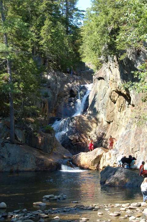 Smalls FallsTownship E, ME · 10.8 mi awayShort walkDunn FallsAndover North Surplus, ME · 12.5 mi awayHikeScrew Auger FallsGrafton Twp, ME · 17.6 mi awayShort walk
Distances are straight-line, not driving or trail distances.