
Texas Falls
Hancock, Vermont
A waterfall in Hancock, Vermont, managed by Texas Falls Recreation Area, Green Mountain National Forest. Falls observation site at the parking area.
HikeNo swimmingNo licensed photo found yet.
About Texas Falls
Overview
- Waterfall heightNot verified No source publishes a height.
- Hike detailsFalls observation site at the parking area; the Texas Falls Nature Trail is a 1.2-mile loop with a 70-foot elevation change, about 1 hour (Forest Service).
- ParkingOff VT Route 125 on Forest Road 39: parking at the Falls Observation Site (0.5 mile), the Picnic Area (0.7 mile) and the end of Forest Road 212. The gate closes in winter; the road is plowed to the gate (Forest Service).
- PetsNot verified. No rule found on the managing agency's page.
- SeasonThe FR 39 gate is closed in winter (Forest Service).
Managed by: Texas Falls Recreation Area, Green Mountain National Forest (USDA Forest Service)
The Hike
- Route
- Falls observation site at the parking area; the Texas Falls Nature Trail is a 1.2-mile loop with a 70-foot elevation change, about 1 hour (Forest Service).
- Difficulty
- Loop trail with a 70-foot elevation change (Forest Service). No formal rating published.
Facilities
- Parking
- Off VT Route 125 on Forest Road 39: parking at the Falls Observation Site (0.5 mile), the Picnic Area (0.7 mile) and the end of Forest Road 212. The gate closes in winter; the road is plowed to the gate (Forest Service).
- Fees
- Not verified
Tips & Safety
- Swimming
- No. A Forest Service order (2010-06) prohibits entering or being in the waters of Texas Brook from the Texas Falls Road bridge southeast to the forest boundary.
- Pets
- Not verified. No rule found on the managing agency's page.
- Season
- The FR 39 gate is closed in winter (Forest Service).
Safety
- Wet rock near waterfalls is very slippery, even when it looks dry. Stay back from edges and off the tops of falls.
- High water after rain or snowmelt makes crossings and pools dangerous. Turn back if a crossing looks deep or fast.
- Daylight is not a safety guarantee. Plan your time around the route, the weather and your group, and carry a light.
- Check the managing agency for closures and current conditions.
Not verified
No managing agency publishes: Height, Formal difficulty rating, Accessibility, Dog rules. We leave these out instead of guessing.
Nearby Waterfalls
More in Vermont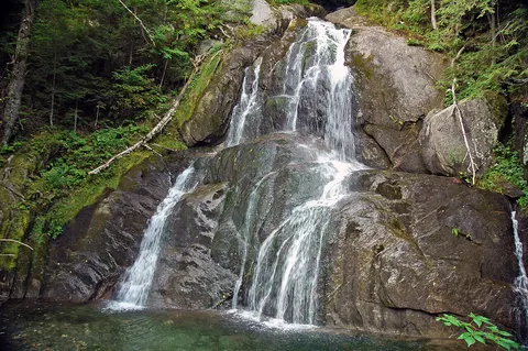 Moss Glen Falls (Granville)Granville, VT · 6.3 mi awayShort walkFalls of LanaSalisbury, VT · 8.3 mi awayShort walk
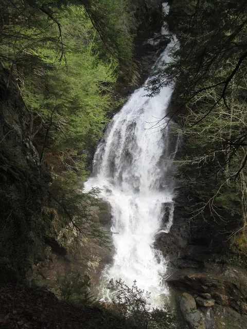 Moss Glen Falls (Stowe)Stowe, VT · 40.2 mi awayShort walkModerateDogs on leash
Distances are straight-line, not driving or trail distances.