
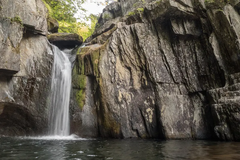
Screw Auger Falls (Gulf Hagas)
Bowdoin College Grant East Twp, Maine
A waterfall in Bowdoin College Grant East Twp, Maine, managed by Gulf Hagas, Appalachian Trail Corridor, Maine Appalachian Trail Club. From the Gulf Hagas Parking Area, 0.2 mile to the AT, a ford of the West Branch of the Pleasant River, then 1.3 miles to the Rim Trail.
Short walkPhoto: Andythrasher, CC BY-SA 4.0, via Wikimedia Commons

About Screw Auger Falls (Gulf Hagas)
Overview
- Waterfall heightNot verified No source publishes a height.
- Hike detailsFrom the Gulf Hagas Parking Area, 0.2 mile to the AT, a ford of the West Branch of the Pleasant River, then 1.3 miles to the Rim Trail; a short side trail to Screw Auger Falls is 0.2 mile past the start of the Rim Trail. The whole network is 11.8 miles (Maine Trail Finder).
- ParkingGulf Hagas Parking Area or Head of the Gulf Parking Area, reached via unpaved private logging roads where logging trucks have right-of-way (Maine Trail Finder).
- PetsPets permitted (Maine Trail Finder).
- SeasonNot verified. No rule found on the managing agency's page.
Managed by: Gulf Hagas, Appalachian Trail Corridor, Maine Appalachian Trail Club
The Hike
- Route
- From the Gulf Hagas Parking Area, 0.2 mile to the AT, a ford of the West Branch of the Pleasant River, then 1.3 miles to the Rim Trail; a short side trail to Screw Auger Falls is 0.2 mile past the start of the Rim Trail. The whole network is 11.8 miles (Maine Trail Finder).
- Difficulty
- Level 2-3. The river ford has no bridge, is often knee-deep and 100 feet wide; rough footing (Maine Trail Finder).
Facilities
- Parking
- Gulf Hagas Parking Area or Head of the Gulf Parking Area, reached via unpaved private logging roads where logging trucks have right-of-way (Maine Trail Finder).
- Fees
- Vehicle access crosses private land with a North Maine Woods day-use fee; Trail Finder quotes $11 Maine residents / $16 non-residents as of 2021, cash or check only (Maine Trail Finder).
Tips & Safety
- Swimming
- Not verified No managing-agency statement found, so we don't say swimming is allowed.
- Pets
- Pets permitted (Maine Trail Finder).
- Season
- Not verified. No rule found on the managing agency's page.
Safety
- Wet rock near waterfalls is very slippery, even when it looks dry. Stay back from edges and off the tops of falls.
- High water after rain or snowmelt makes crossings and pools dangerous. Turn back if a crossing looks deep or fast.
- Daylight is not a safety guarantee. Plan your time around the route, the weather and your group, and carry a light.
- Check the managing agency for closures and current conditions.
Not verified
No managing agency publishes: Swimming, Height, Formal difficulty rating, Accessibility. We leave these out instead of guessing.
Nearby Waterfalls
More in MaineLittle Wilson FallsElliottsville Twp, ME · 11.1 mi awayHikeBig Niagara FallsT3 R10 WELS, ME · 29.7 mi awayHike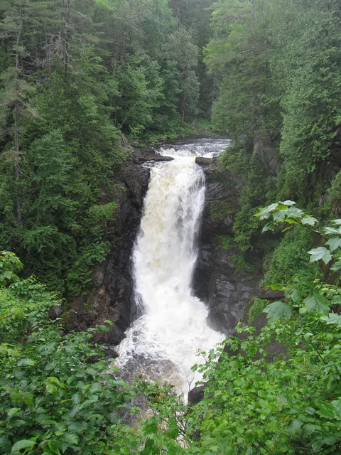 Moxie FallsMoxie Gore, ME · 31.8 mi awayHike
Distances are straight-line, not driving or trail distances.