
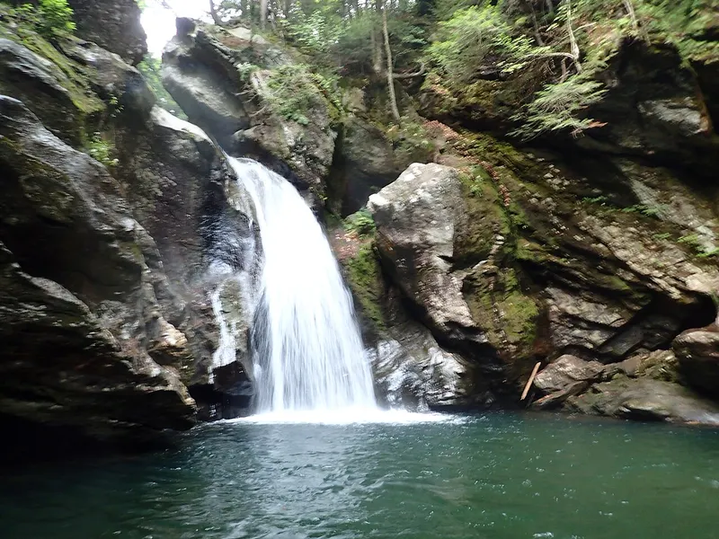
Bingham Falls
Stowe, Vermont
A waterfall in Stowe, Vermont, managed by Smugglers' Notch State Park / Mt. Mansfield State Forest, Vermont Dept. of Forests, Parks and Recreation. From Route 108.
HikeDogs permittedPhoto: Outdoor Craziness, CC BY-SA 3.0, via Wikimedia Commons

About Bingham Falls
Overview
- Waterfall heightNot verified No source publishes a height.
- Hike detailsFrom Route 108 (Mountain Road), about 1/4 mile down to the top of the falls and a steep further 1/4 mile to the bottom. Or the 1.5-mile Mill Trail from Notchbrook Road to the top of the falls (Trail Finder).
- ParkingPull-off on VT Route 108, 1.4 miles past Notchbrook Road; limited pull-off parking on Notchbrook Road for the Mill Trail. No fee (Trail Finder).
- PetsPermitted on the Mill Trail property (Trail Finder).
- SeasonNo best season stated by the managing agency.
Managed by: Smugglers' Notch State Park / Mt. Mansfield State Forest, Vermont Dept. of Forests, Parks and Recreation
The Hike
- Route
- From Route 108 (Mountain Road), about 1/4 mile down to the top of the falls and a steep further 1/4 mile to the bottom. Or the 1.5-mile Mill Trail from Notchbrook Road to the top of the falls (Trail Finder).
- Difficulty
- The Route 108 access is "short but quite challenging"; rock staircases are steep and slippery (Trail Finder). The Mill Trail is rated easy.
Facilities
- Parking
- Pull-off on VT Route 108, 1.4 miles past Notchbrook Road; limited pull-off parking on Notchbrook Road for the Mill Trail. No fee (Trail Finder).
- Fees
- No fee (Trail Finder)
Tips & Safety
- Swimming
- Not verified No managing-agency statement found, so we don't say swimming is allowed.
- Pets
- Permitted on the Mill Trail property (Trail Finder).
- Season
- No best season stated by the managing agency.
Safety
- Wet rock near waterfalls is very slippery, even when it looks dry. Stay back from edges and off the tops of falls.
- High water after rain or snowmelt makes crossings and pools dangerous. Turn back if a crossing looks deep or fast.
- Daylight is not a safety guarantee. Plan your time around the route, the weather and your group, and carry a light.
- Check the managing agency for closures and current conditions.
Not verified
No managing agency publishes: Swimming, Height, Formal difficulty rating, Accessibility. We leave these out instead of guessing.
Nearby Waterfalls
More in Vermont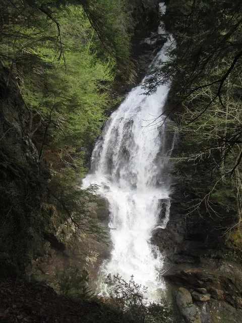 Moss Glen Falls (Stowe)Stowe, VT · 7.5 mi awayShort walkModerateDogs on leash
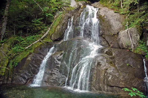 Moss Glen Falls (Granville)Granville, VT · 34.9 mi awayShort walkBig Falls of the MissisquoiTroy, VT · 36.5 mi awayRoadside
Distances are straight-line, not driving or trail distances.